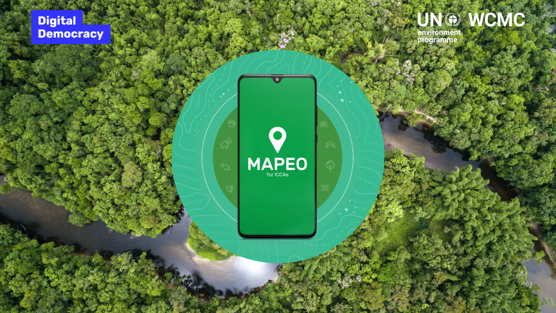
Digital Democracy, UNEP-WCMC, and Forest Peoples Programme (ICCA Consortium Member) have developed “Mapeo for ICCAs,” a mapping app designed with and for communities to enable custodians to map, monitor and support their territories of life on their terms
First published on 05/19/2023, and last updated on 07/20/2023
Written by Sol Fernandez Rodriguez (Associate Programme Officer, UNEP-WCMC); and
Jasmin Upton (Programme Officer and manager of the ICCA Registry, UNEP-WCMC)
The ICCAs–territories of life play a significant role in conserving nature inside and outside the protected and conserved area network, but often without any legal recognition or protection, leaving them vulnerable to land grabbing and industries that exploit their natural resources. Mapping and documenting territories of life can support internal self-strengthening processes and increase visibility. This can equip communities to showcase their conservation efforts, advocate for appropriate external recognition, and support and defend their territories from diverse threats.
In support of this, Digital Democracy, UNEP-WCMC, and Forest Peoples Programme (ICCA Consortium Member) have developed a mapping app designed with and for communities to enable the custodian communities to map, monitor and support their territories of life on their terms. Custodian communities can use the information collected via the app to support their advocacy purposes and, should they wish to, contribute to global conservation databases to increase awareness of and action for territories of life at a global level.
‘Mapeo for ICCAs’ has been developed specifically for ICCAs and is a version of Mapeo, an app developed by Digital Democracy for documenting, monitoring, and mapping many types of information.
The mapping app, Mapeo for ICCAs, was launched in December 2022 when government and community leaders from around the world converged at the 2022 UN Biodiversity Conference–COP 15 to agree on global targets for nature. The resulting Global Biodiversity Framework recognizes Indigenous Peoples’ and local communities’ lands and rights as crucial for safeguarding biodiversity.
What does Mapeo for ICCAs do?
Mapeo for ICCAs helps users create digital maps and gather images and information on critical features within their territories and areas. The key advantage of using Mapeo for ICCAs is that it enables the custodian communities to create a digital boundary (polygon) of the ICCAs–territories of life in a participatory way, with multiple people working together to collectively agree on the correct boundary. Users can use a USB drive to synchronize or exchange data over a local Wi-Fi network.
While custodian communities of territories of life maintain ownership and control over their data, the app does provide a voluntary mechanism for the custodians to submit their data to global conservation databases via the app. Such databases include the ICCA Registry and the Protected Planet Initiative.
Information is only shared if the custodians choose to do so and once they have followed a self-determined process of Free, Prior and Informed Consent. All data collected or created with Mapeo for ICCAs is stored directly on the device, without an internet connection, but an internet connection is required if sharing information.
What are the ICCA Registry and Protected Planet Initiative?
The ICCA Registry raises awareness of the significance of Indigenous Peoples and local community-led conservation practices, providing a much-needed evidence base to promote the recognition and support of ICCAs–territories of life worldwide. The Protected Planet Initiative provides global databases on protected areas and other effective area-based conservation measures (OECMs). It provides the basis for monitoring progress towards international targets on protected and conserved areas.
Mapeo for ICCAs is an exciting new tool that can streamline the data submission process for Indigenous Peoples and local communities that want to report data on their territories of life and be represented in these databases. Custodians can more easily engage in expanding and improving information in the ICCA Registry and the Protected Planet Initiative, helping to demonstrate the importance of ICCAs–territories of life to national and international decision-makers, ensuring the collective conservation values of territories of life are better understood and can be counted towards global conservation targets.
In the words of Tero Mustonen, the ICCA Consortium’s Regional representative for the Circumpolar Arctic, President of Snowchange Cooperative (ICCA Consortium Member), and an author of the IPCC Sixth Assessment Report, “Mapeo for ICCAs is a significant breakthrough in enabling and supporting communities, should they so choose, to show the world the scope, extent, and locations of their ICCAs–territories of life, on their terms and supporting their rights. I wholly support the app as a vital new way to bring stewardship of territories of life and conservation into the light”.
How does the app work?
You can find helpful and detailed resources on using Mapeo for ICCAs on the ICCA Registry website, available in English, French, and Spanish, including a step-by-step user guide, app download links, and demonstration videos.
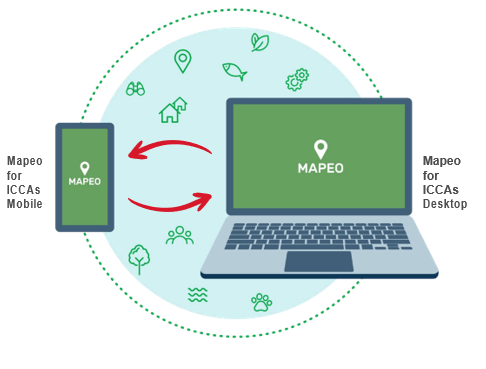
There are two parts to the Mapeo for ICCAs App; a mobile app and a desktop app, which can be used together or individually.
- Mapeo for ICCAs mobile: This is used to map points along the boundary of the territories of life using the mobile phone’s GPS. The data can then be synced to the desktop app.
- Mapeo for ICCAs desktop: This is used to create the digital boundary on a desktop computer by linking up the points collected using the mobile app. The desktop app is also used to provide details about the territory of life, such as its name and how it is governed.
The app is currently available in English, French, and Spanish. It will be translated into more languages in the future so that the app can better support the mapping and documentation of territories of life worldwide. The app uses an open access software for translation, which means custodians of territories of life and their supporting organizations can contribute to translating Mapeo for ICCAs into new languages.
If you are interested in using the app or supporting the translation of the app into a new language, or if you have any other questions, please get in touch at iccaregistry@unep-wcmc.org